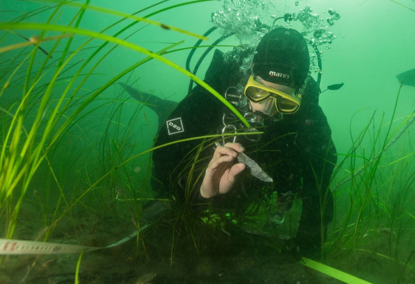
New project will investigate Stone Age palaeolandscapes to identify areas of human activities in the North Sea.
Associate Professor Katrine Juul Andresen is part of the international project SUBNORDICA funded by EU and set to investigate unmapped Stone Age paleolandscapes.

In SUBNORDICA, we will use the abundant legacy data in the form of geophysical 2D and 3D seismic and acoustic surveys and geological and geotechnical boreholes to understand how the Stone Age palaeolandscapes looked like and how they evolved through time and during the flooding. This is a key ingredient for advancing our knowledge about the human occupation in the area. By employing AI, we will make data integration feasible across the North Sea and Baltic Sea and further allow for automated interpretations of key landscape elements. Understanding the geological processes, the landscape evolution, and the human behaviour ‐ from the known sites in the Baltic, will enable us to identify areas of human activities in the North Sea, says Kathrine Juul Andresen.
Katrine Juul Andresen onboard Aarhus University’s research vessel Aurora in 2020 for a geophysical research expedition to the North Sea set out to acquire 2D and 3D seismic data,multibeam echosounder data and side scan sonar data. Photos: Ole Rønø Clausen, Aarhus University
During the past two decades, archaeologists have become increasingly aware that there is a major gap in our understanding of world prehistory. That gap is the 20 million km2 of new territory that was exposed for thousands of years around the world when sea levels were around 100 metres lower. In Europe the extent of the North and Baltic Seas has also changed radically over the past 15,000 years. More than 3 million km2 of new land was exposed along with coastal plains, lakes, river valleys, shorelines and offshore islands which provided some of the most attractive land for prehistoric settlement anywhere in the continent. Now lost to the sea following the end of glaciation and global climate change, these landscapes remain almost entirely unexplored. Today, these landscapes and the traces and remains of settlement preserved in them are under threat as the world develops the coastal shelves to meet net zero goals.
To support ethical development of the seabed and research of the Stone Age landscape relics and traces of settlements preserved in the seabed of the North and Baltic Seas, the EU has provided funding of €13.2 million for SUBNORDICA - a research collaboration between Moesgaard Museum, Aarhus University, the University of Bradford and the German research institute NIHK, to explore submerged landscapes in the North Sea and the Baltic. The project will apply the latest technologies to map the seabed, use AI and computer simulation to identify areas where long lost settlements may still survive and can be explored.
