
Amazing drone footage of Greenland
In August 2018, our Geoscience colleagues Mads F Knudsen, John D Jansen, and David L Egholm, completed fieldwork in the Sermilik Fjord region of south-east Greenland, with the aim of unraveling the long term evolution of the this amazingly glaciated landscape. They sampled rocks and sediments for cosmogenic nuclide analysis back at Aarhus University. They used saws to cut samples from the bedrock, but all cuts were carefully covered and their fieldwork left minimal traces in the landscape. They are working specifically to constrain the past extent of the Greenland Ice Sheet during the last ice age and to measure how much the ice has eroded the landscape. Their grand goal is to understand the life cycle of Earth's great ice sheets, and how feedbacks between ice dynamics and landscape evolution have caused their behaviour to change over million-year timescales.
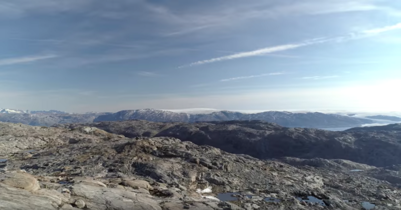
They put together a video from their drone footage, which showcases Greenland's spectacular landscape of glaciers, ice sheets, and moraines left over from the recently ended ice age. Helheim glacier (shown at the beginning of the clip) is the largest outlet glacier in the region, spilling huge volumes of ice into the Sermilik Fjord every year. This outlet glacier has accelerated and thinned dramatically over the past decade due to climate change.