Deep Earth
- We integrate geophysical and petrological data with advanced numerical modelling techniques to study transport processes in the Earth’s interior and links to plate tectonics.
Solar and stellar variability
- We combine geophysical modelling of data from geological archives with satellite-based observations of Sun-like stars to study the nature and origin of solar and stellar variability.
Earth’s environment
- We combine geophysical and astrophysical observations to decipher solar variability and the associated influence on Earth’s environment.
- We apply geophysical modelling techniques to study the nature and origin of variations in Earth’s climate and environment.
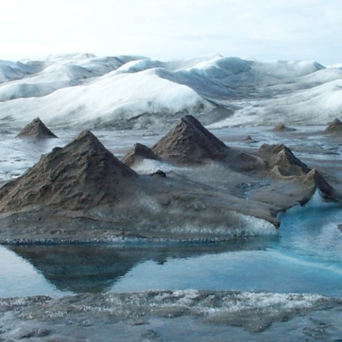
Surface processes and Earth’s topography
- We combine geophysical inverse models with numerical simulations and cosmogenic nuclides in a novel approach to understand the evolution of surface topography and the coupling between climate, erosion, and tectonics.
- We combine geophysical modelling techniques with cosmogenic nuclides to understand the link between climate and the evolution and lifespan of mountain ranges.
Mapping of ground water reservoirs
- We combine helicopter-borne geophysical data acquisition with state-of-the-art inverse modelling techniques to map ground water resources around the world.
- We integrate geophysical and geological data with state-of-the-art inverse modelling techniques to map sub-surface structures and ground water reservoirs.
Sustainable managing of groundwater resources and pollution control
- We map subsurface structure by inverting geophysical and geological data for use in water resource management and pollution control.
Energy
- We integrate geophysical data, such as high-resolution seismic data and well-log data, with state-of-the-art modelling tools to map sub-surface structures related to geothermal and hydrocarbon reservoirs.
- We use seismic data and state-of-the-art modelling tools to resolve sub-surface structures and map geothermal and hydrocarbon reservoirs.